
National Park Service and Missouri State Parks planning personnel toured scenes along 24 miles of the proposed Rock Island Trail’s eastern section this past week, gathering information to help …
This item is available in full to subscribers.
We have recently launched a new and improved website. To continue reading, you will need to either log into your subscriber account, or purchase a new subscription.
If you are a current print subscriber, you can set up a free website account by clicking here.
Otherwise, click here to view your options for subscribing.
Please log in to continue |
|
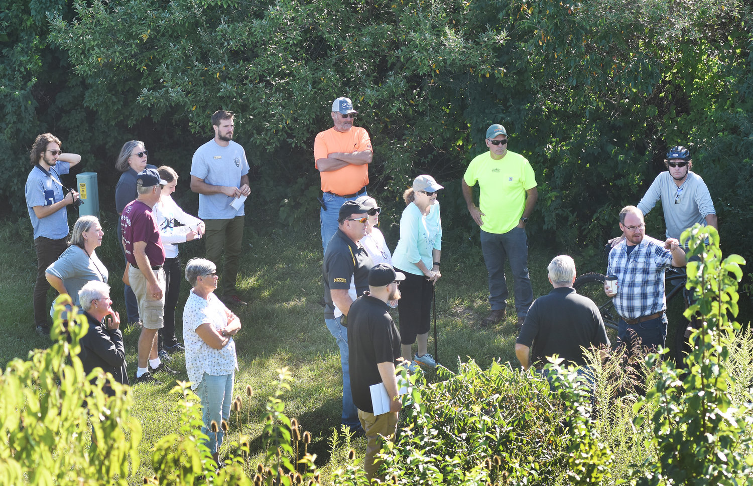


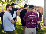


National Park Service and Missouri State Parks planning personnel toured scenes along 24 miles of the proposed Rock Island Trail’s eastern section this past week, gathering information to help the communities of Belle, Bland, Owensville, Rosebud and Gerald develop plans for trailhead and trailbed construction.
Their visit is part of the Rivers Trails & Conservation Assistance Program overseen by the National Park Service. Ashley Newson is a community planner for the NPS based in Columbia, Mo., and set up the visits and evening community informational meetings held in Belle and Rosebud.
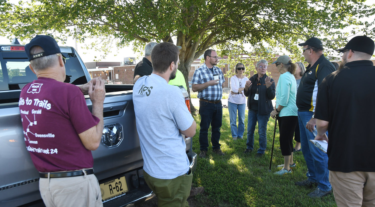
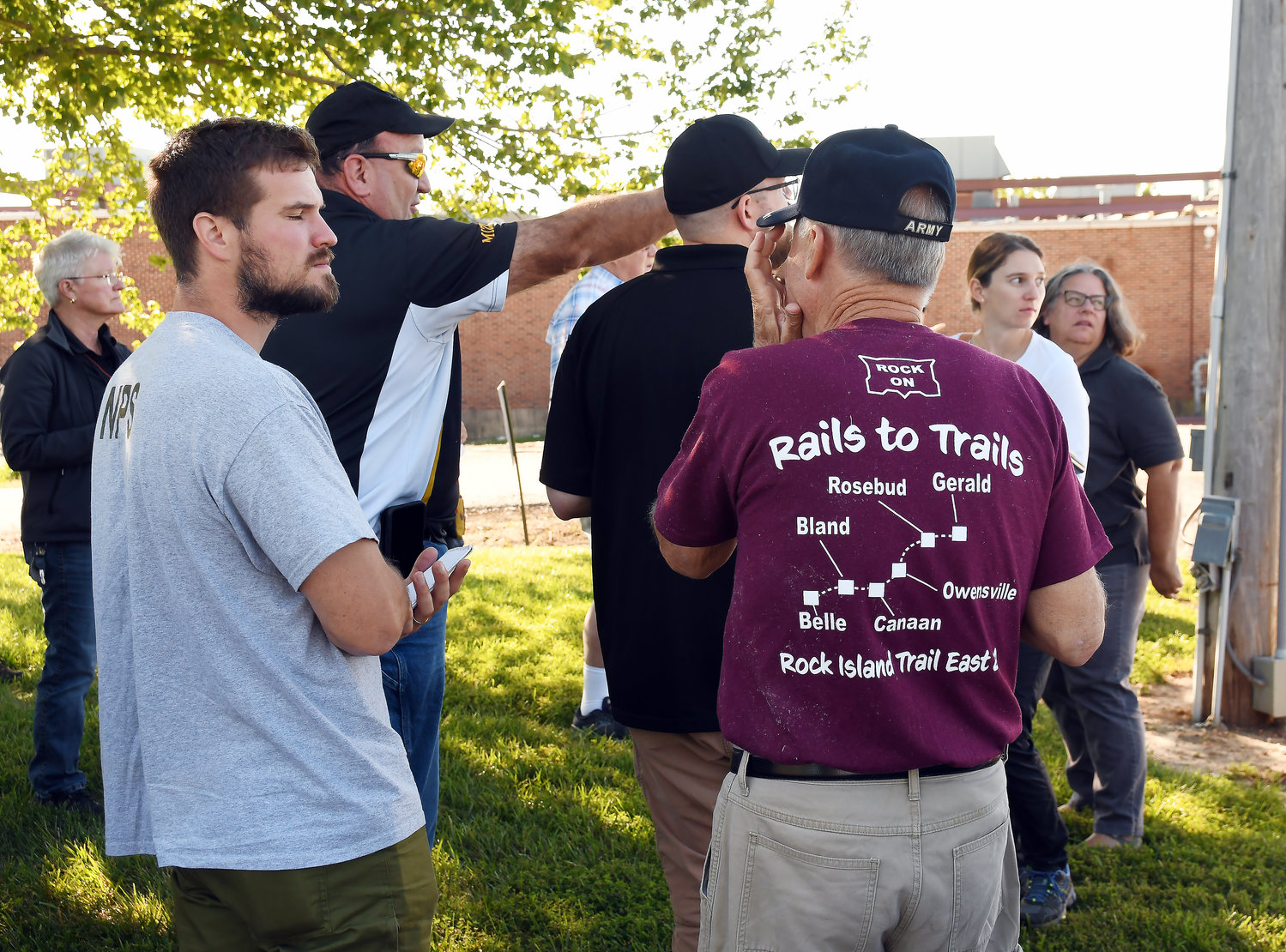
After touring Belle and Bland and meeting with city officials there last Tuesday, an open house informational meeting was held in the community center in Belle. A similar meeting was held in Rosebud’s American Legion Hall on Wednesday evening after a day of trail viewing starting that morning at Owensville City Hall.
Mayor John Kamler gave an overview of the city’s recent acceptance of a $500,000 grant to begin constructing up to 2.4 miles of trail from where the old rail line connects with the middle school and west to Kosark Road. Kamler said the city’s elected officials are hoping to complete the entire section west to the city limits. He said the city’s aldermen are supportive of trail development and would examine using additional local resources to extend the trail across the entire city.
The city will contribute $100,000 in local funds as a match to the grant award.
NPS and State Parks staff joined city personnel and local trail enthusiasts for a driving tour east for a stop on the back side of Lakeside Book Company’s printing plant near the new warehouse addition.
Jackie Barndollar, Lakeside’s director of human relations and a member of Rock Island Trail, Inc., a group supporting the railbedding of the 144-mile section from Beaufort to Windsor, said the printing firm has land available and is willing to help relocate a section of the trail away from their service entrances and ground-mounted utility services. The printing firm is also working with the city to help determine if, and where, the reconnection of Springfield Road with Old Highway 19 will cross Lakeside’s property. A section of the parking lot which remains in gravel was noted as a possible location for reconnecting the roads due to construction of the 60,000-square-foot building used for storing rolls of paper.
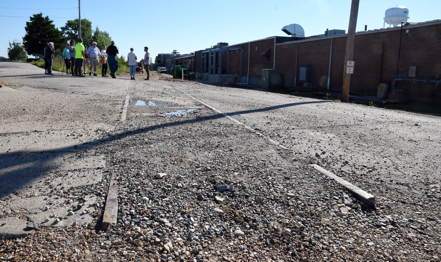
A visit to OMS trail access
Travis Hernandez, the city’s contracted engineer with Archer-Elgin, informed NPS and State Parks staff there would be the need to address a 9-foot rise in elevation for the pathway off the trail up onto the higher ground where the middle school’s property joins with the Highway 19 overpass and the former railbed. The Owensville tour concluded at Kosark Road across from the city’s fire station and new police station.
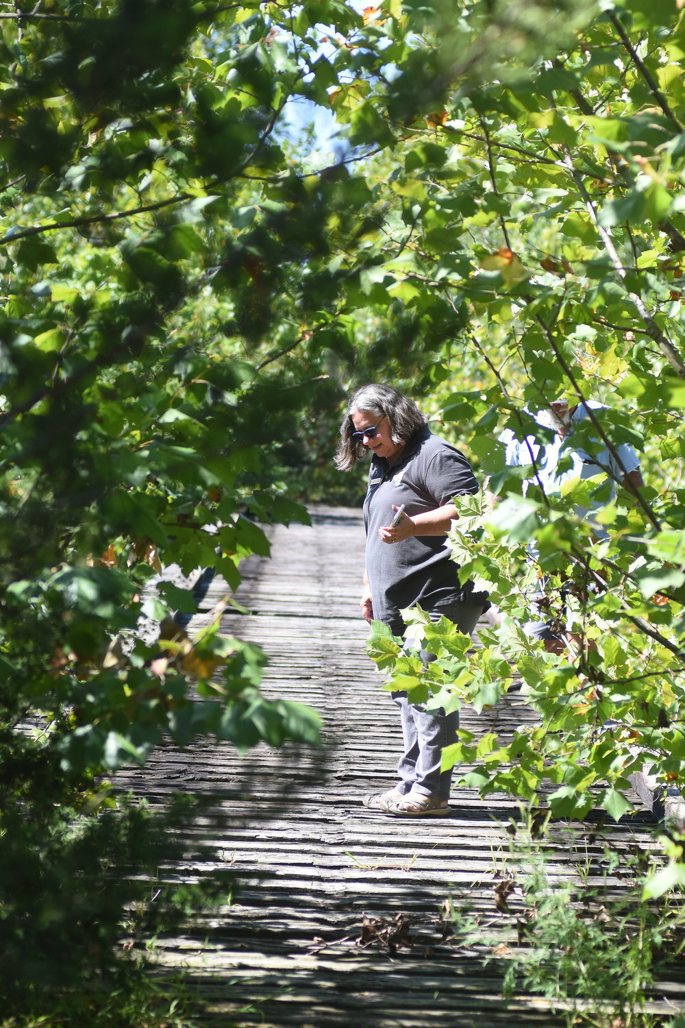
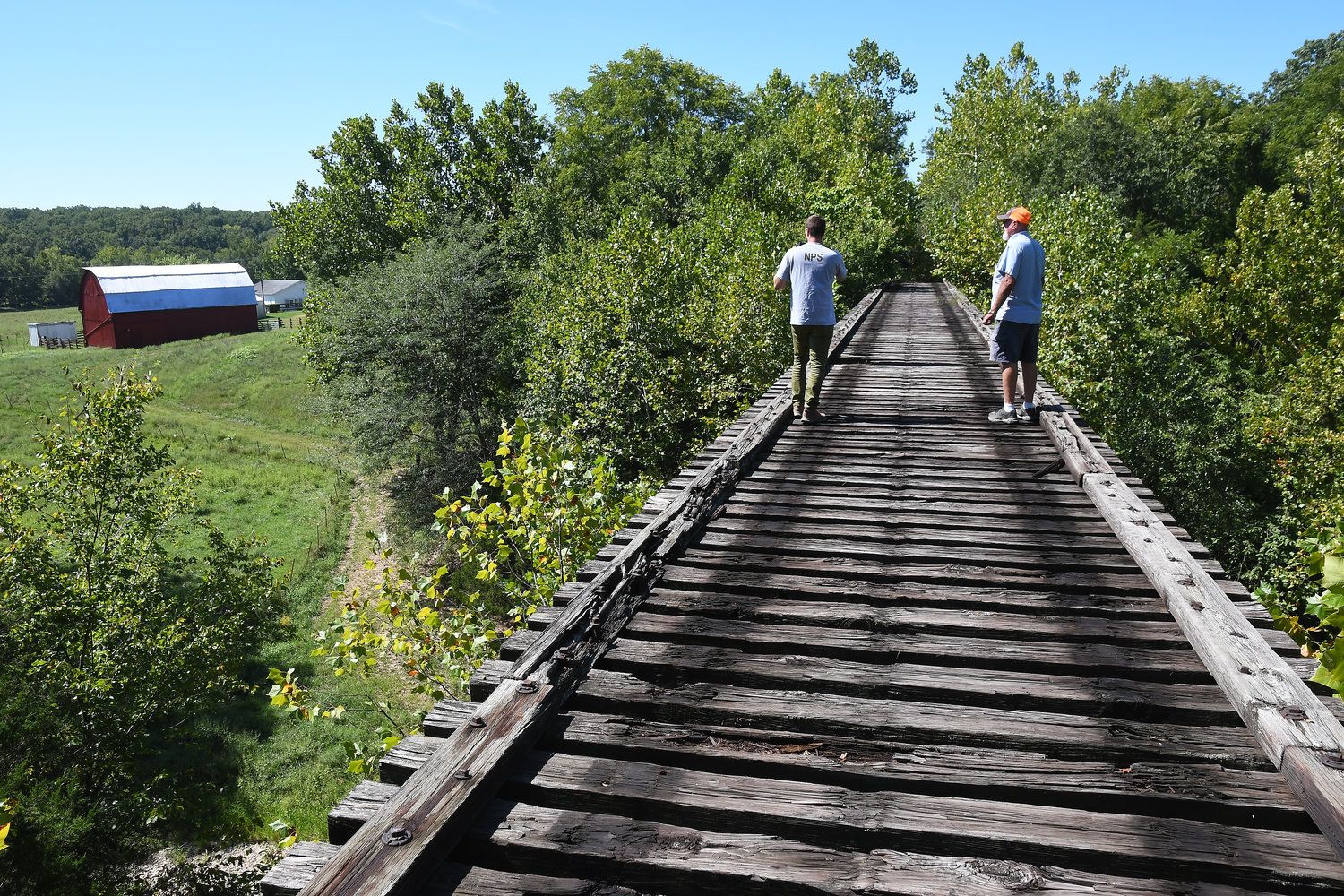
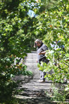
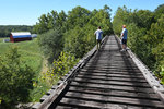
In Rosebud, the professional planners were given a UTV ride west out of town, under U.S. 50, to the Soap Creek railroad bridge.
A mile marker just east of the bridge is No. 86. The one visible in Owensville is No. 91.
That point is not lost on the parks planners. With the right state funding, or a private donation, the cost to convert the rail bridge into a trail bridge would be a key step in connecting the Gerald and Rosebud segments of the trail with Owensville.
Naming rights are being considered for donors who fund large-ticket conversion items along the Rock Island corridor including the tunnels and bridges west of Belle and Vienna in Maries County. The Old U.S. 50 bridge east of Gerald, constructed over wooden bridge heads, will need to be replaced completely.
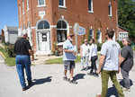
Planners completed their visit to Rosebud with a brief walking tour guided by John Loeb of businesses along both sides of the highway which divides the community of 390 residents. Planners expressed concerns about the speed limit through town — a point Loeb agreed with and that local officials felt frustration about.
Police Chief Mason Griffith said the city is being awarded a grant to install a hand-push crossing signal and related sidewalk improvements for the intersection of Route T and U.S. 50. The Missouri Department of Transportation has so far rejected city requests for a lower speed limit through the city which stands at 35 miles per hour.
City officials lowered speed limits on side streets to 15 mph.
Rosebud Mayor Shannon Grus said the city’s portion of the matching Transportation Alternative Program grant is $25,004. The grant award through the state’s TAP funding is $100,015.
After lunch at the Bistro at the Mill in Gerald, owner Cary Parker visited with planners. T-shirts promoting the trail’s communities on the east end are for sale to customers. He’s hosted meetings for local trail enthusiasts over the years.
Trail supporters in Gerald are hoping a plan comes together to develop a trailhead adjacent to a park maintained by the Chamber of Commerce. There is talk over possibly moving the town’s restored depot building back to its original location in that immediate area.
Planners dropped by the depot at Legion Park and expressed interest into how that might look in a trailhead layout.
Two of the NPS personnel brought their backgrounds in architectural design and engineering to the meetings across the five communities from Franklin, Gasconade and Maries counties. Their photographs and reports are scheduled to be incorporated into layout renderings of potential trailhead sites and will be used to help communities seeking grants for their sections of trail development.
On their way back to Rosebud to set up for the evening meeting, planners from the national and state parks agencies drove into the RV park under construction on the east end of town. Amenities being developed for the camping park include family-oriented activity zones like playgrounds, athletic courts and a pool. A destination stop on the trail, several noted, along with easy access to antique shopping and several restaurants, including Loeb’s Mill.
During their break before the evening session, planners gathered around a Rosebud Community Park picnic table with Sassmann and noted how impressed they were with the amount of planning already going on in the communities they visited.